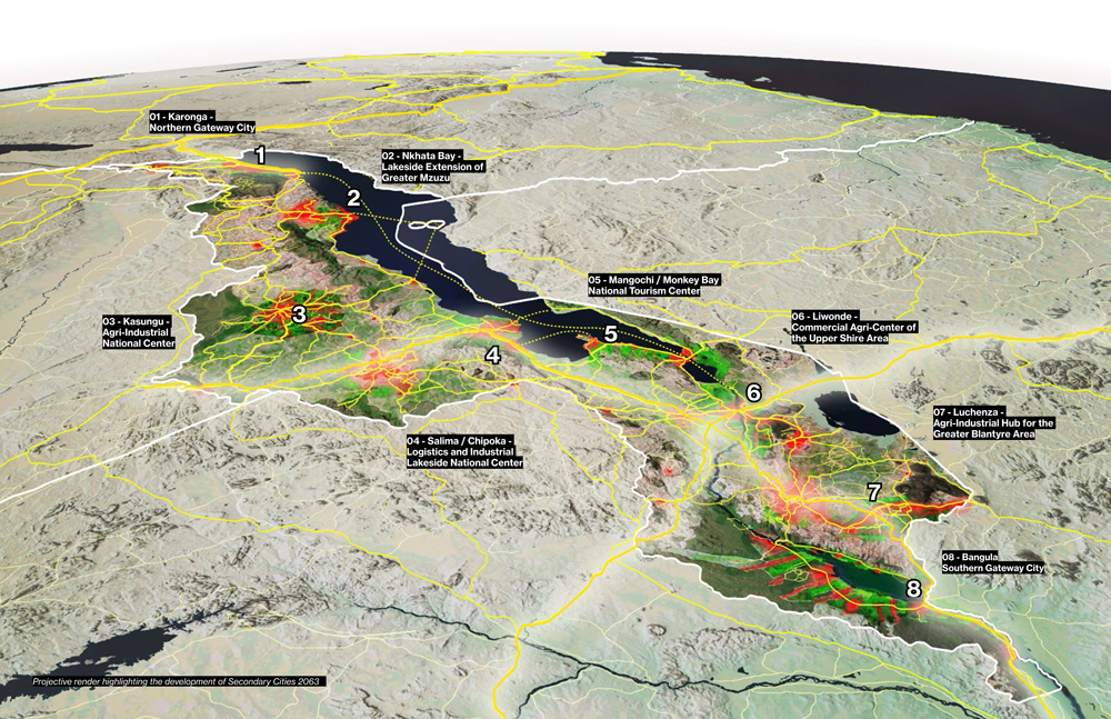
The National Planning Commission recently launched the Malawi Secondary Cities Plan in which eight new cities will be developed in line with the country’s Malawi 2063 national vision. The plan enables coordinated investments in agriculture, tourism, mining, logistics and commercial opportunities as well as industrial and infrastructural investments.
The secondary cities will be developed in Karonga, Nkhata Bay, Kasungu, Salima/Chipoka, Mangochi/ Monkey Bay, Liwonde, Luchenza and Bangula. It is expected that this will help divert rural populations from migrating to the four primary cities of Blantyre, Zomba, Lilongwe and Mzuzu.
Implementation of the Malawi 2063 gets into another gear with the launch of the Malawi Secondary Cities Plan (MSCP) which will see Karonga, Nkhatabay, Kasungu, Chipoka, Monkey Bay, Liwonde, Luchenza and Bangula being developed into new cities for Malawi.#MW2063 #Ndizotheka pic.twitter.com/Ry09Janj6j
— National Planning Commission (Malawi) (@NPCMalawi) May 27, 2022
Tourism Opportunities
The Malawi Secondary Cities Plan makes space for various recreational and tourism attractions. For cities along Lake Malawi, the plan features public beaches, passenger ferry terminals, marinas and water sports centres, aquariums, as well as hospitality offerings. Inland cities feature their nature reserves, forested mountains and urban parks. This article extracts tourism projects from the Malawi Tourism Master Plan that fall in the areas where these secondary cities will be located.
1. Karonga – Northern Gateway City
Karonga is a town in northern Malawi, located on the western shore of Lake Malawi. A 2018 census estimates the population was 61,609. The main sources of income are cotton, rice and maize farming, coffee and livestock production and subsistence fishing.
Key features
→ Chilumba port is situated 60km south of Karonga
→ Sits along the M1 highway into Tanzania
→ Tazara Corridor 120km north in Mbeya, Tanzania
→ Potential for growth in mining
→ Potential for fisheries and agriculture development
Tourism projects in the Malawi Tourism Development Master Plan
→ New Transit Facility will consist of a. a service station; b. 40-seat restaurant with outside shaded seating and a children’s playground, public toilets, ATM facilities and a fast-food outlet; and c. 24-room Motel
→ Upgrading of Karonga Cultural and Museum Centre
→ Slave trade museum in Mwahimba VIllage
→ Spa and wellness centre at Mkungwe Hot Springs
→ Mid-market resorts
More details of the projects in the tourism master plan are here.
2. Nkhata Bay – Lakeside Extension of Greater Mzuzu
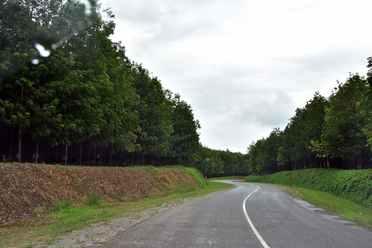
Nkhata Bay is a town in northern Malawi east of Mzuzu City. It is on the shore of Lake Malawi and is one of the main ports on the lake. A 2018 census estimates the population was 14,274. The main sources of income are fishing, cassava farming, and rubber plantations as well as tourism.
Key features
→ Port linking Likoma, Chipoka and Chilumba
→ Beautiful sandy beaches
→ 65km east of Mbamba Bay in Tanzania
→ Potential to become a port city for Mzuzu
Tourism projects in the Malawi Tourism Development Master Plan
→ The Integrated Waterfront Development will consist of a. upgrading of the port and jetty; b. tourist facilities including curio shops, public toilets, and a 40-seater cafeteria; c. commercial with a promenade, marina, and parking area; d. Chilundu Point 20-room boutique hotel, 10-bed eco-lodge, an ecotourism training facility and nature walks.
→ Luxury and mid-market resorts on surrounding islands
→ Heritage Centre
→ Plantation excursions in surrounding agricultural areas
More details of the projects in the tourism master plan are here.
3. Kasungu – Agri-Industrial National Centre
Kasungu is a town in central Malawi. A 2018 census estimates the population was 58,653. The main sources of income are tobacco, maize and legumes.
Key features
→ Productive farmland with fertile soils
→ Recently restocked Kasungu National Park
→ Dwangwa and Bua rivers
→ Potential agro-industrial capital
Tourism projects in the Malawi Tourism Development Master Plan
→ New game lodge at Kangwa in Kasungu National Park
→ Interpretation centre linking the rock painting and iron smelting kilns in the Kasungu National Park
Other Opportunities
→ Excursions to Nkhotakota Game Reserve
→ Agritourism opportunities
More details of the projects in the tourism master plan are here.
4. Salima/ Chipoka – Logistics and Industrial Lakeside National Centre
Chipoka is a town located in Salima district, central Malawi. It is one of the main ports on Lake Malawi and is the closest port to the capital city of Lilongwe. Chipoka is located on the western shore of Kasankha Bay across from Cape Maclear. The town has a railway station on the Sena railway. A 2018 census estimates the population of Chipoka 6,395 and Salima’s population was 36,789.
Key features
→ Rail and lake port meet
→ Potential to grow fisheries
→ Potential to develop regional logistics centre and passenger facilities
Tourism projects in the Malawi Tourism Development Master Plan
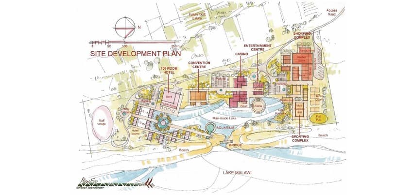
→ New Integrated Resort at Salima will consist of a. 100-room resort hotel; b. a partitioned 1,000-capacity conference centre; c. sporting and shopping complex; d. entertainment centre and casino; e. a golf course with a residential estate; f. an aquarium.
→ Overlander campsites
→ Activity centre and Marina
More details of the projects in the tourism master plan are here.
5. Mangochi / Monkey Bay – National Tourism Centre
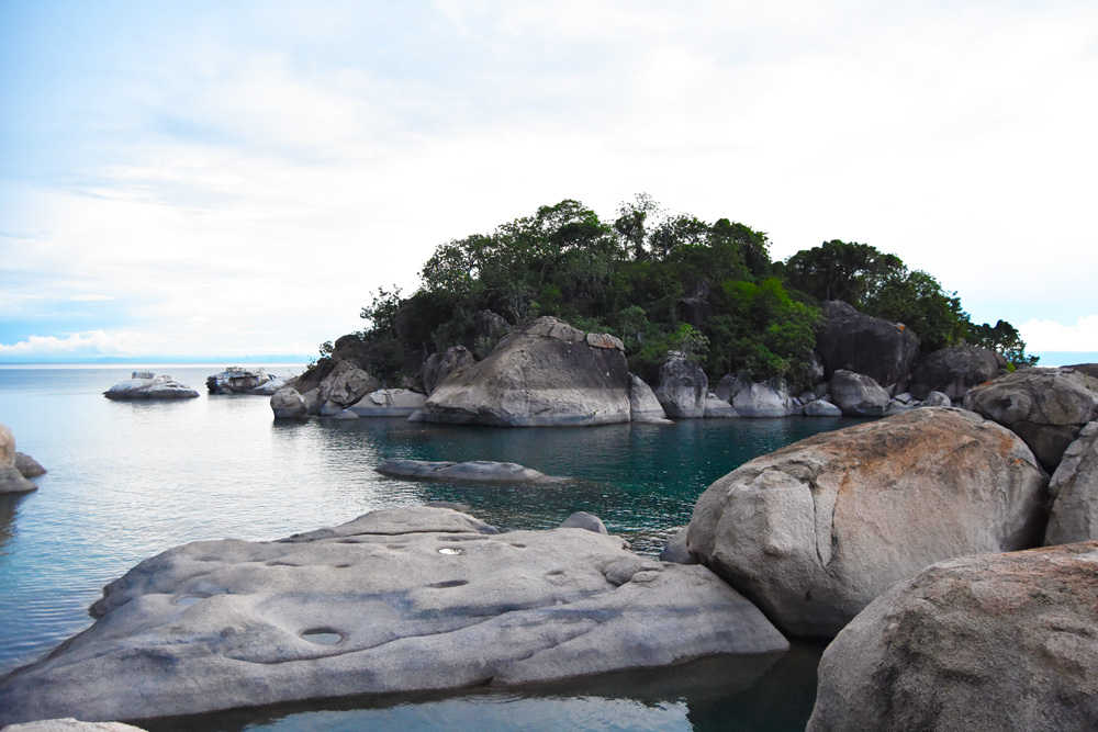
Monkey Bay is a town in Mangochi southern Malawi. It is a tourist resort that includes Cape Maclear. The town is on the shore of Lake Malawi and is one of the main ports on Lake Malawi. A 2018 census estimates the population of Monkey Bay was 14,955 and Mangochi’s population was 53,498. Main sources of income are commercial fish farming, marine engineering as well as tobacco, cotton, and groundnuts.
Key features
→ World heritage site
→ Natural harbour
→ Popular conference and tourism centre
→ Potential to become the national tourism centre
→ Potential to further develop port facilities
Tourism projects in the Malawi Tourism Development Master Plan
→ New Integrated Resort at Golden Sands will consist of a. a 20-luxury room hotel overlooking Cape Maclear Bay; b. a 10-bed eco-lodge at Mfula Bay
→ Traditional seafood restaurant in Chembe Village
→ Freshwater theme park
→ Houseboats and self-manned crafts
→ Aquarium and environmental educational centre
→ Luxury villas on islands in the lake
More details of the projects in the tourism master plan are here.
6. Liwonde – Commercial Agri-Centre of the Upper Shire Area
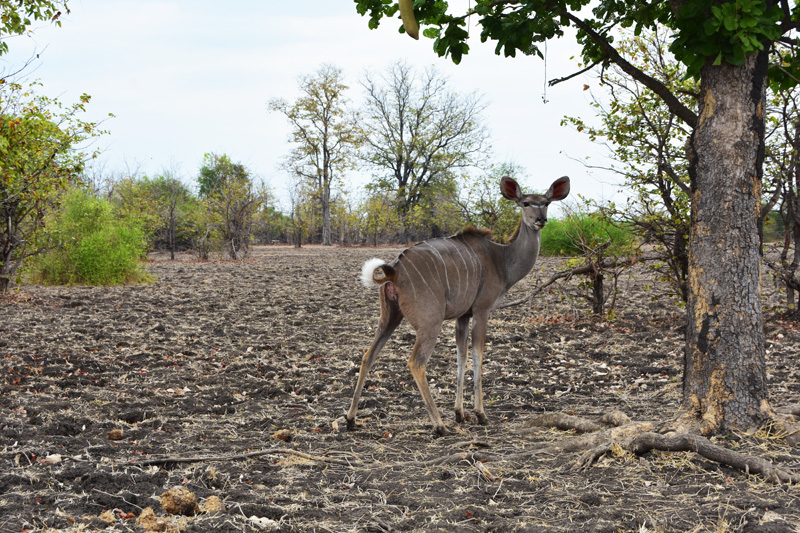
Liwonde is a town located in Machinga district in southern Malawi. Main sources of income are agricultural products like tomatoes, onions, cabbage, bananas, pumpkins, cassava, sweet potatoes, Irish potatoes, sugar cane, rice and beans as well as goat breeding.
Key features
→ Liwonde National Park
→ Nacala Corridor rail meets Shire River and national highway
→ Potential agro-industrial centre
Tourism projects in the Malawi Tourism Development Master Plan
→ Integrated development for leisure, retail, dining, and water-based activities that consists of a. shaded parking for cars and coaches; b. shops and stalls selling local crafts, curios, and collector’s items; c. wooden decking which connects a 100-seater restaurant, public toilets, fast food outlets and an arena which can seat up to 100 people
→ New game lodge in Liwonde National Park
→ Upgrading of Liwonde National Park main gate
More details of the projects in the tourism master plan are here.
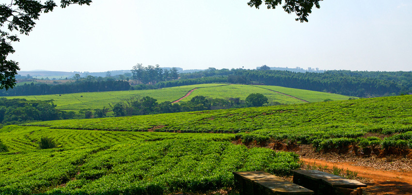
Tea estate in Thyolo
7. Luchenza – Agri-Industrial Hub for the Greater Blantyre Area
Luchenza is a town in Thyolo district in southern Malawi. The town has a railway station on the Sena railway. The main sources of income are tea and coffee production.
Key features
→ Rail linking Bangula to Blantyre
→ Potential agri-industrial hub
Tourism projects in the Malawi Tourism Development Master Plan
→ A visitor centre and self-catering chalets around coffee and tea estates
More details of the projects in the tourism master plan are here.
8. Bangula – Southern Gateway City
Bangula is a town in Nsanje district in southern Malawi. It is located on the western bank of the Shire River, near the confluence of the Shire and Ruo River. Bangula was served by a station on the Sena railway system which heads to Mozambique but this has been closed since 1997 when the Chiromo bridge over the Shire River collapsed. A 2015 census estimates the population was 19,050.
Key features
→ Situated at the confluence of Ruo and Shire rivers
→ The southernmost point of the Shire Valley Transformation Programme
→ Potential for water transport development
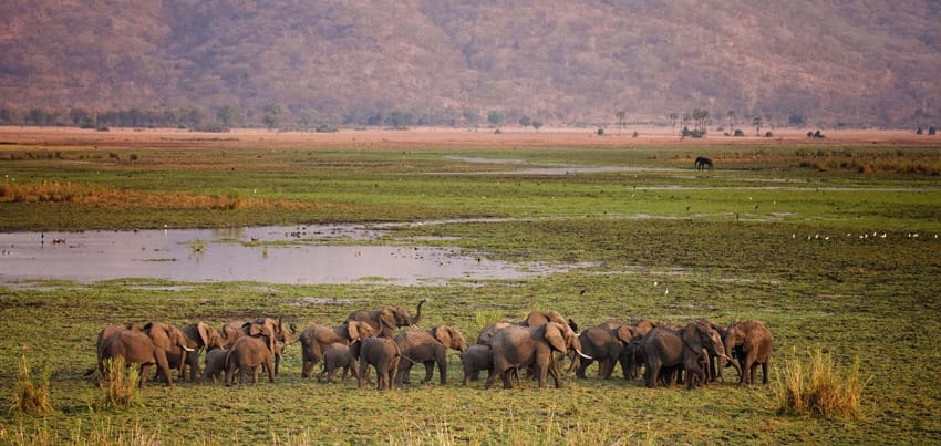
→ Potential tourism developments around the Elephant Marsh
Tourism opportunities
There are no projects in Bangula in the Malawi Tourism Development Master Plan. However, there is potential for a visitors centre, accommodation and tours of the Elephant Marsh, a critical ecological area for mammals, fish and migratory birds. The size of the marsh varies from 150 to 450 square miles depending on the flow of the Shire and Ruo rivers and has no permanent boundary.
The Malawi Secondary Cities Plan is available to download from the National Planning Commission website.

